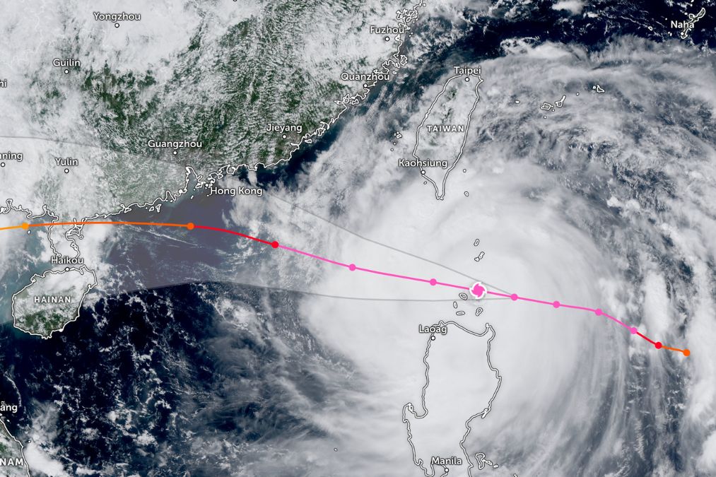
The Hong Kong Observatory (HKO) announced that the Strong Wind Signal No. 3 would be issued at 9:40 p.m., with a possible upgrade to the Gale or Storm Signal No. 8 between 1PM and 4PM on Tuesday.
The warning comes as Super Typhoon Ragasa edges closer to southern China, prompting authorities to prepare for severe weather conditions. According to current forecasts, Ragasa will move across the Luzon Strait and enter the northern part of the South China Sea before approaching the Guangdong coast. The storm is expected to intensify local winds, with widespread disruption anticipated in Hong Kong if Signal No. 8 is raised.
According to local newspapers, Hong Kong International Airport may close for up to 36 hours is under consideration to safeguard operations and passengers. Airlines have begun warning of possible delays and cancellations, with contingency plans being drawn up to minimise disruption.
The last time Hong Kong raised the Hurricane Signal No. 10 was during Typhoon Wipha in July 2025. The most destructive super typhoon in recent memory was Mangkhut in September 2018, which forced the city to a standstill and caused widespread damage.
Header Image Credit: zoom.earth


