

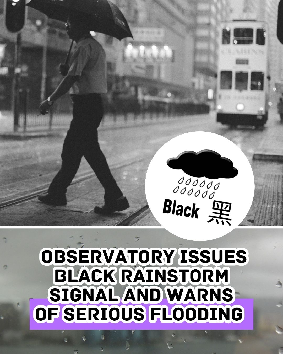
The Hong Kong Observatory issued the Black Rainstorm Warning Signal at 8:35pm on Monday, June 8, as heavy rain and thunderstorms continued to affect Hong Kong.
The Observatory warned that very heavy rain had fallen or was expected to fall generally over the city, with rainfall exceeding 70 millimetres in an hour and likely to continue through the evening.
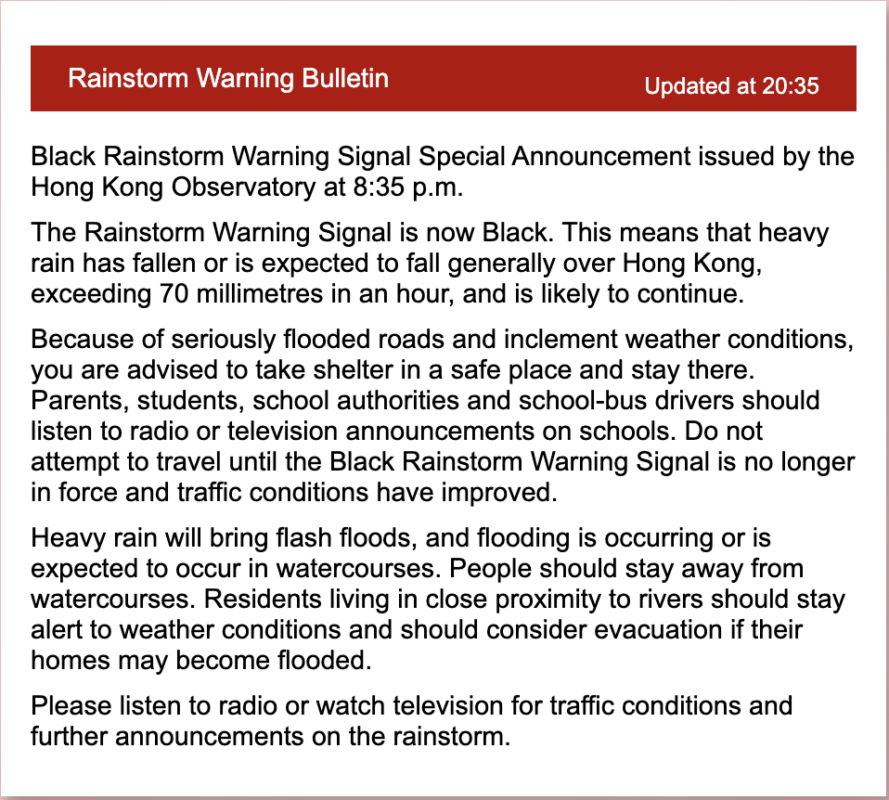
Sha Tin was among the areas facing particularly severe rain at the time, with hourly rainfall expected to reach or exceed 100 millimetres. The Observatory also warned of flash floods, flooded roads and dangerous conditions near watercourses, urging people to stay in a safe place and avoid unnecessary travel until conditions improve.
A Thunderstorm Warning was also in force, with severe squally thunderstorms expected over Hong Kong. Around 8:15pm, violent gusts of about 100km/h were recorded at Kwai Chung, while Cheung Chau recorded gusts of around 90km/h.
The latest warning follows an unsettled weekend. On Saturday, June 6, Hong Kong saw several rainstorm alerts, including a Red Rainstorm Warning in the evening. Between 9am and 11am that day, the Observatory recorded more than 5,700 lightning strikes, including 1,810 cloud-to-ground strikes.
On Sunday, June 7, more heavy showers affected the city, with around 30mm of rain recorded in many parts of the New Territories and more than 50mm in Sai Kung.
The Black Rainstorm Warning is Hong Kong’s highest rainstorm alert and signals a serious risk of flooding and major disruption.
For the latest updates, please visit www.hko.gov.hk.
Header Image Credit: PxHere