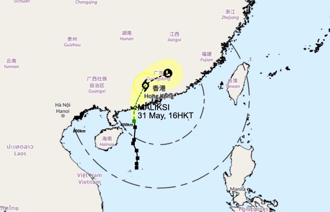
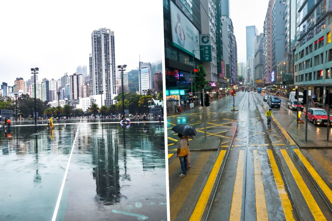
The Hong Kong Observatory upgraded the T1 signal issued on Thursday evening to T3 as tropical storm Maliksi nears the city. The city’s meteorological body hoisted Strong Wind Signal, No. 3 at 4:40pm on Friday. The storm, which was about 290km southwest of the SAR on Friday evening, is expected to make landfall over the Guangdong coast overnight, and bring with it strong winds and heavy showers on Saturday. However, it is unlikely that the observatory will issue a higher warning.

The T3 is unlikely to affect schools as it will be raised after classes end for the week and will not impact the city’s public transportation. However, there will be swells and the observatory cautions people against venturing near the shoreline and engaging in water sports. The weekend will see squally showers and thunderstorms, and temperatures will range from 26 degrees-30 degrees Celsius.

Authorities recently unveiled new measures they will use to deal with extreme weather conditions in Hong Kong, such as Black Rainstorm warnings and T8 typhoon signals or higher. Secretary for Environment and Ecology, Tse Chin-wan, revealed that the latest update to the MyObservatory app will draw users’ attention to special warnings and advisories when T8 is hoisted.
Read our explainer on Hong Kong’s tropical cyclone and rainstorm warning signals and our guide on how to prepare for a typhoon in the city.
Header image credits: peeterv, Ababsolutum via Canva


